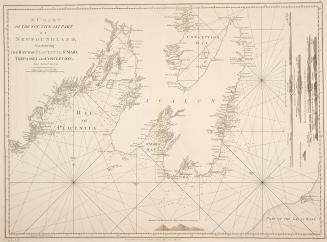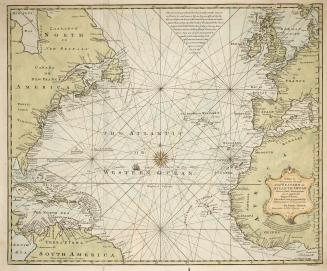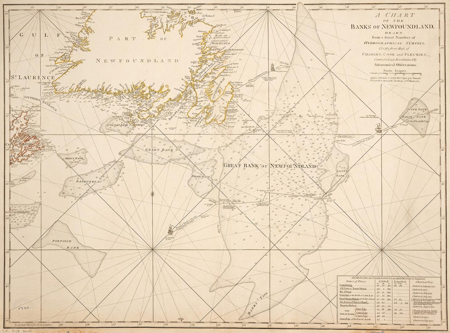

A chart of the banks of Newfoundland
Date1775
Names
FormatMap
NotesInset is a chart showing astronomical observations on which this chart is grounded. Map shows the Grand Banks of Newfoundland.
Dimensions53 cm x 71 cm (20 7/8 in. x 27 15/16 in.)
ScaleBar scales (geographic miles and statute miles)
Language
CollectionBaldwin Collection of Canadiana
Usage Rights
Public Domain
(Learn More)
Object Number912-718-S138-MEDIUM
Dewey912.718 S 138 (medium)