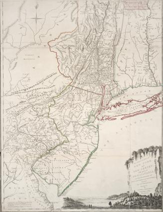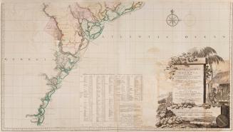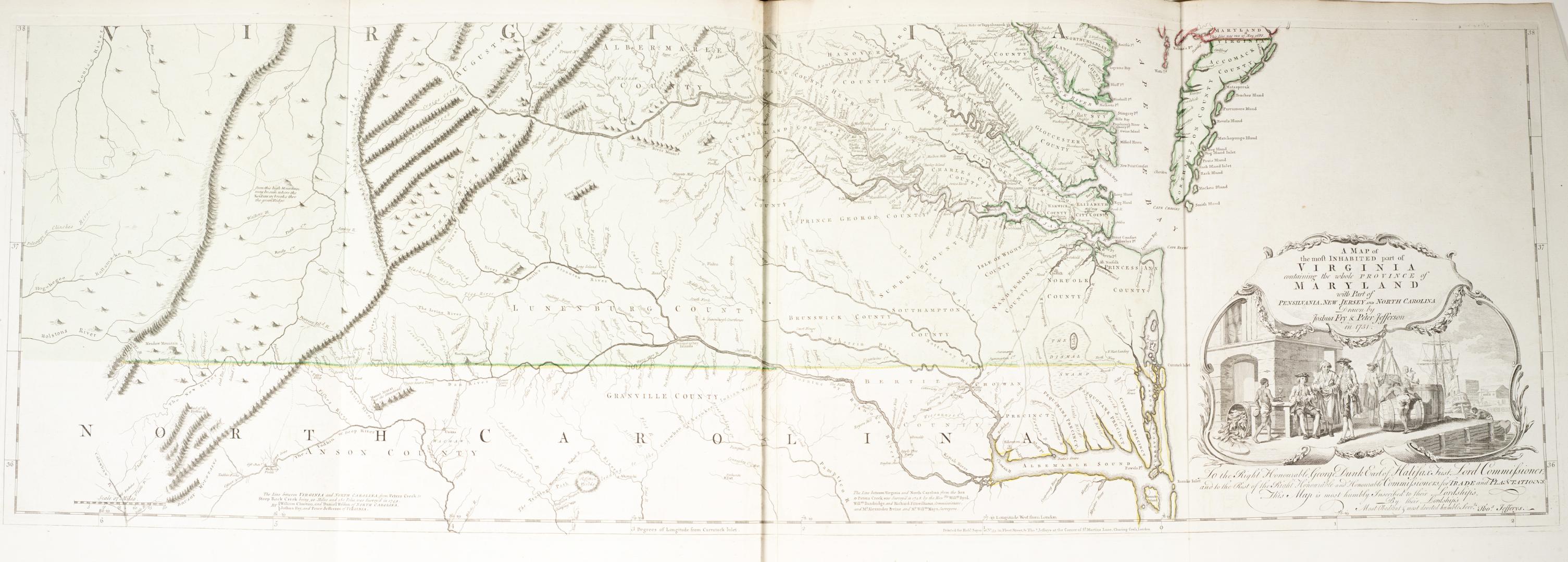

A map of the most inhabited part of Virginia containing the whole Province of Maryland with part of Pensilvania, New Jersey and North Carolina Drawn by Joshua Fry & Peter Jefferson in 1751
Date1755
Names
Fry, Joshua Jefferson, Peter
(contributor)
Jefferys, Thomas, -1771
(author)
Robert Sayer (Firm)
(publisher)
Thomas Jefferys
(printer)
Format
Subject
Medium
Dimensions1"=10 miles : 39 x 121 cm on sheet 53.5 x 127 cm each
Language
ProvenanceGift of Jame Bain family, 2008
CollectionBaldwin Collection of Canadiana
Usage Rights
Public Domain
(Learn More)
Call Number / Accession Number912.755J24
Dewey Number912.755 J24
Country:United States
Province or state:North Carolina||Virginia||Maryland||New Jersey||Pennsylvania